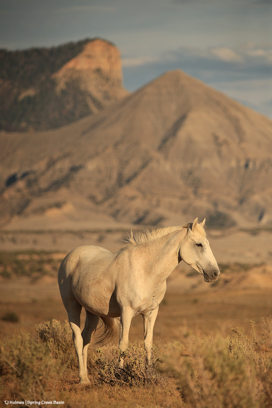
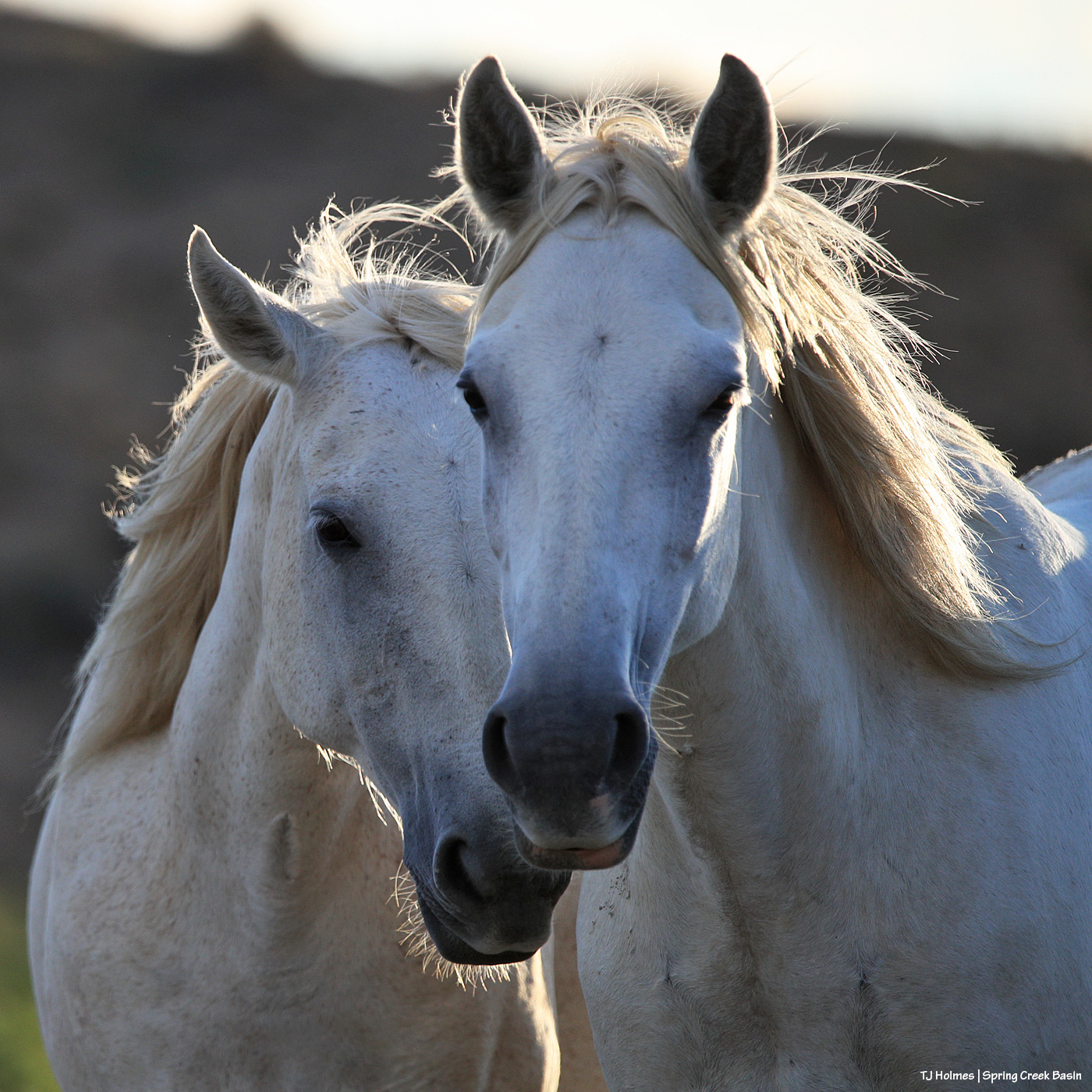
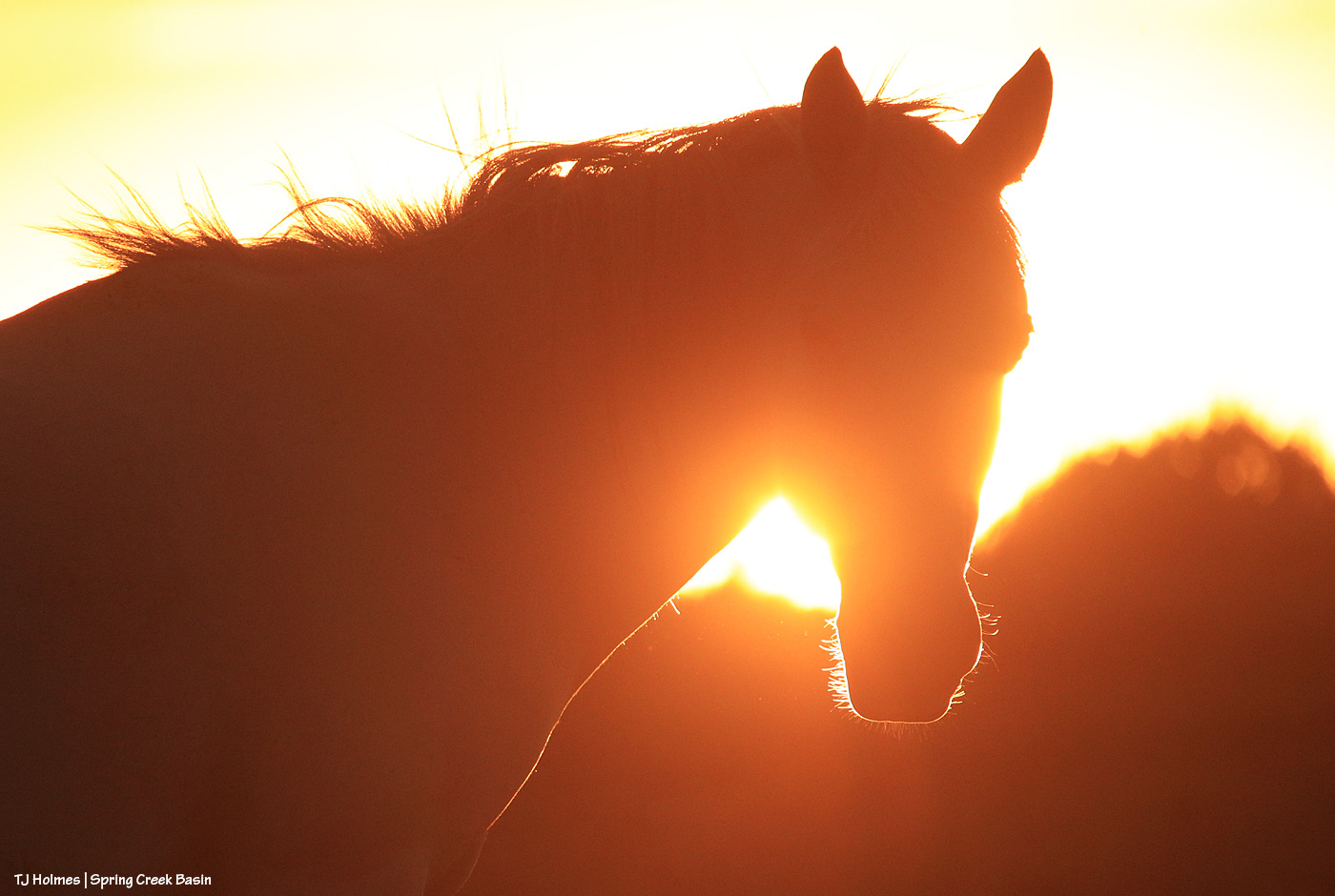
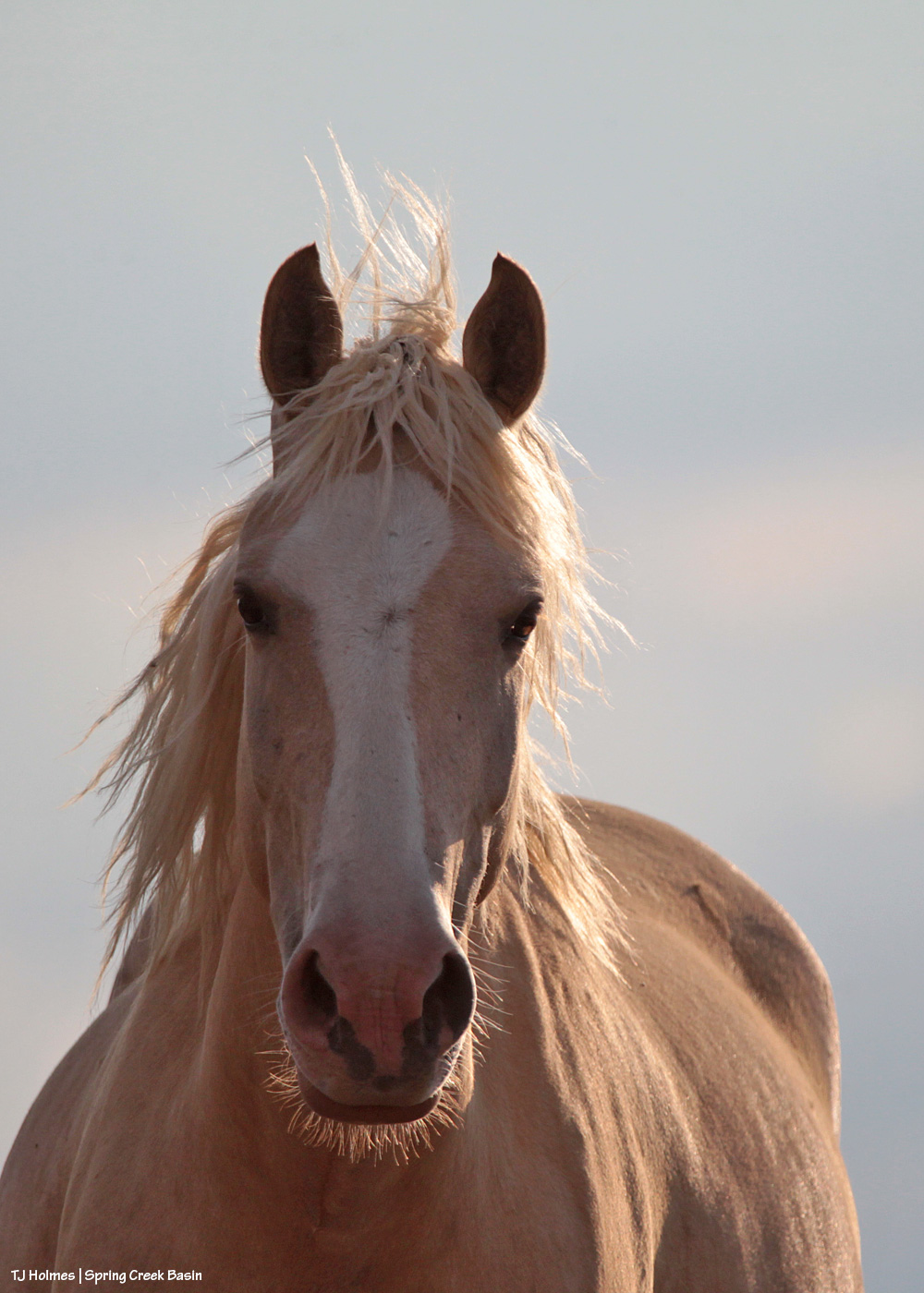
Pretty Mysterium a few nights ago, watchful as her band grazed.
Hottttttttttttttttttttttttt out there. And it’s about to get hotter the next several days. We might be staring down 100s as August begins.
Pretty Mysterium a few nights ago, watchful as her band grazed.
Hottttttttttttttttttttttttt out there. And it’s about to get hotter the next several days. We might be staring down 100s as August begins.
Apologies for the late post this morning; last night’s storms took out my electricity! Very glad of the rain … shown above making its way into Disappointment Valley southeast of southeastern Spring Creek Basin. Seneca really didn’t think she wanted to help show off the view and the rain, but she did an amazing job of it, of course. 🙂
The great thing about the rain is that it wasn’t even in the forecast, so it was a *very* pleasant (understatement) surprise!
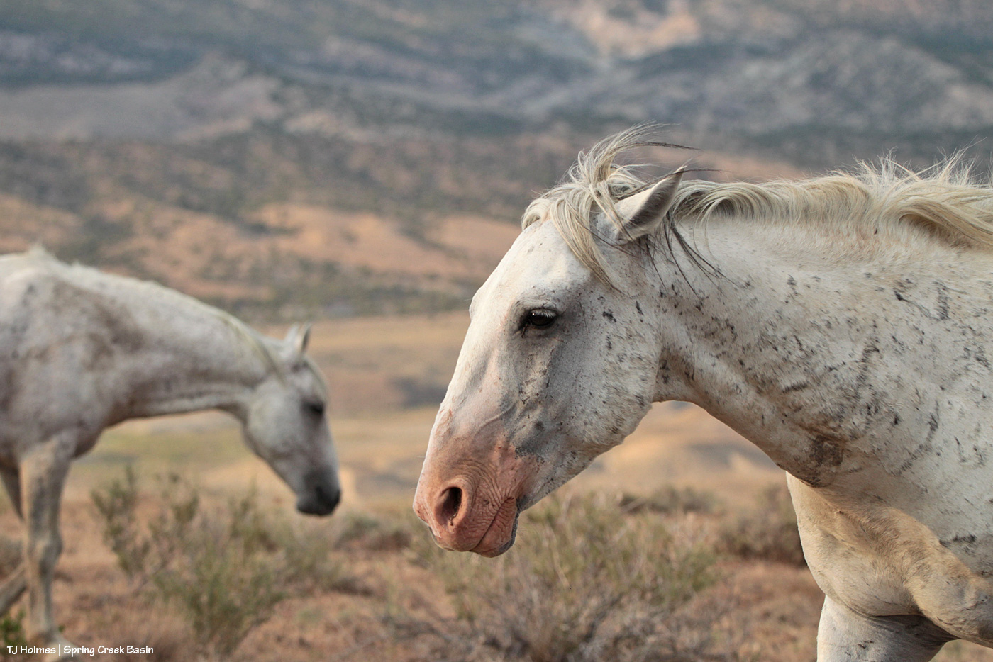
Beautiful light on Maiku as he watches another band grazing up the slope. He and his band were napping; the other band was grazing. Very peaceful. At one point, the shadows of the horses on the little rise behind me were over my shoulder as I sat on the ground photographing Maiku, making me feel very surrounded by my loves.
We didn’t get rain that evening, but we got a nice little patter Sunday evening.
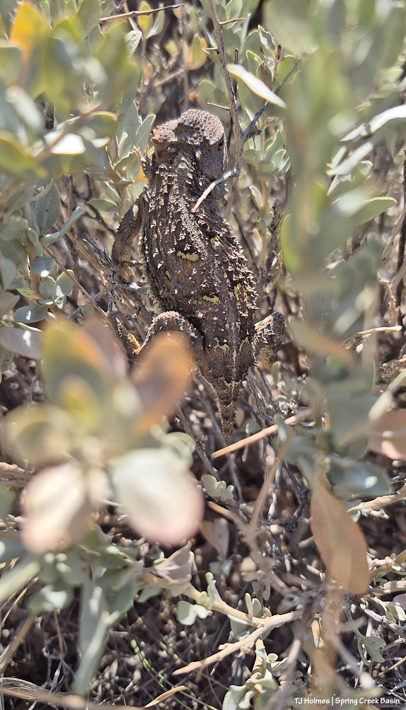
This little fellow or gal scrambled into the middle of a four-wing saltbush (I think? I didn’t stop to ID it at the time). Very shy but maybe one of the bigger horned lizards I’ve seen – and certainly recently. Probably about the size/length of the palm of my hand. I think each individual is different with its coloration/patterns, too. Check out the cool yellowish spots on the dorsal side of this one; they made me think of a butterfly’s markings, so they might be to deter predators?
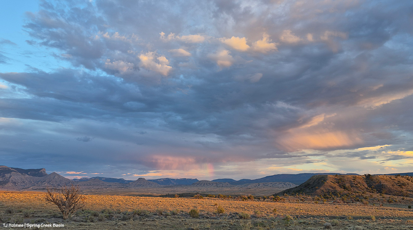
I had just walked back up the hill to the road from visiting with a couple of bands when the sun sank into a low cloud right above the horizon, and I thought (silly me!) that was sunset. … But THEN … the sun found a sliver of a break between cloud and horizon and sent its good-night-world light across Spring Creek Basin. See the partial rainbow at nearly center over Round Top in the low distance? And if you look closely, there’s a band of horses (anOTHER) band of horses) that appeared walking west across the northern base of what I call the east twin butte at lower right.
Note to self: The light’s not done till it’s DONE.
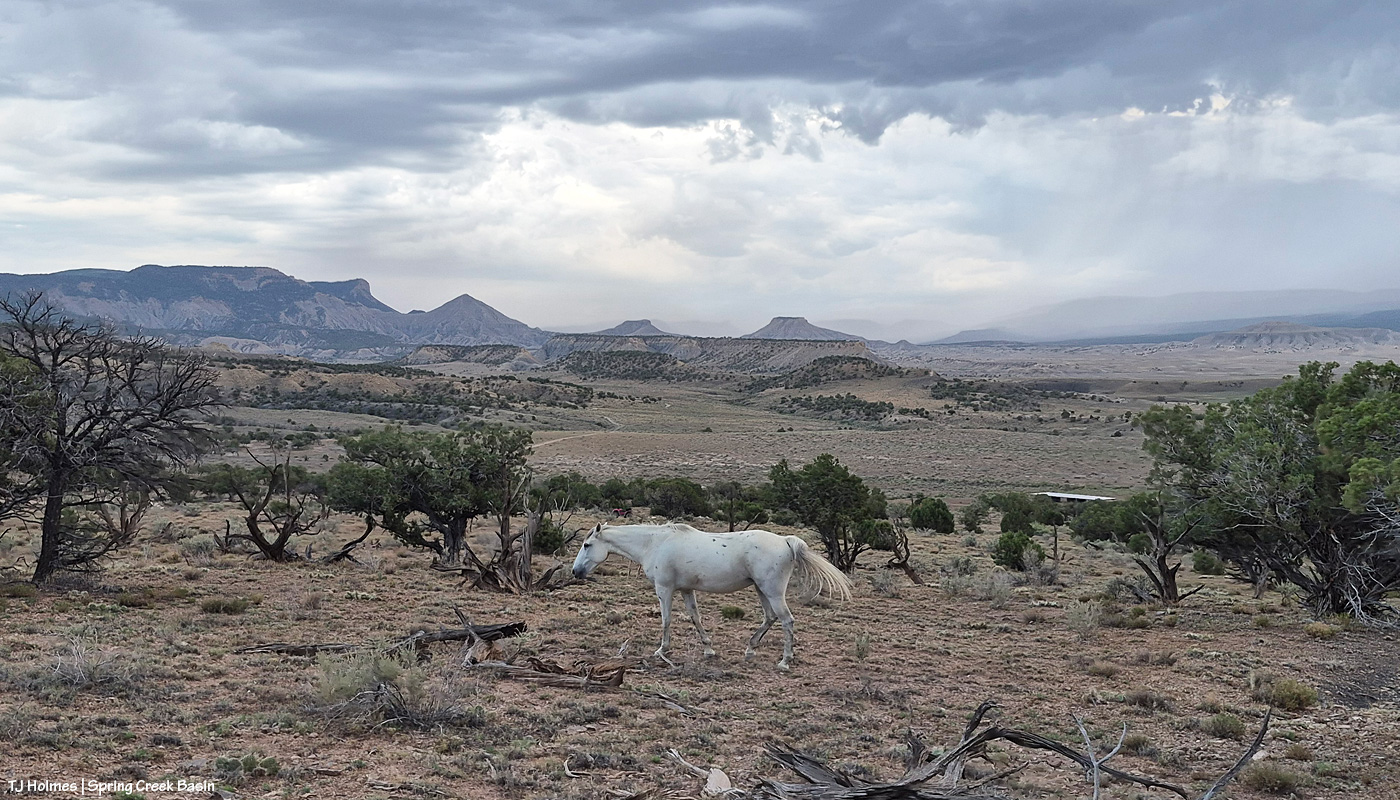
Not much of a theme to the post today … just a couple of glimpses of Spring Creek Basin this past weekend. 🙂
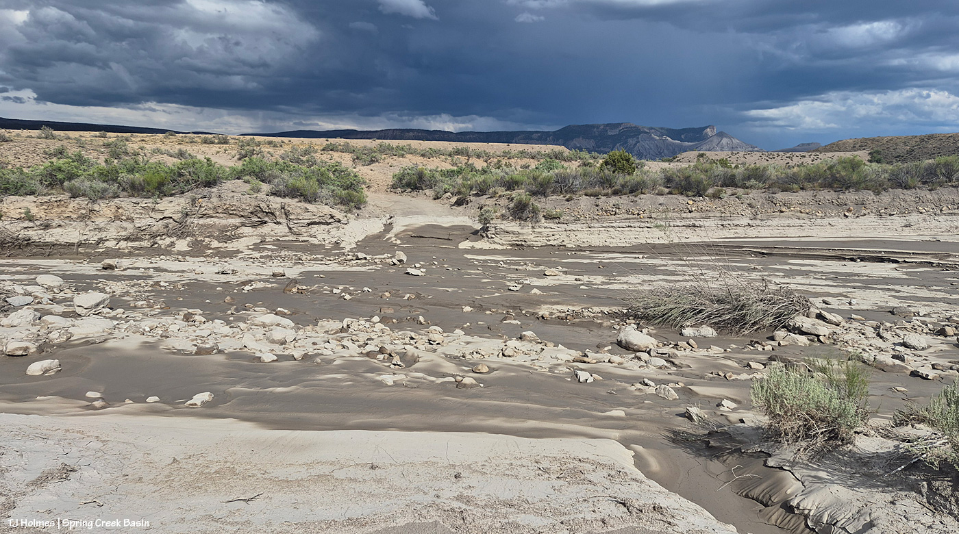
Between one thing and another (including some more sprinkles and thunder/lightning risks after the big rain Tuesday night), it took me three days to get out to Spring Creek Basin to check on the state of things. Only parts of the arroyos – Spring Creek above – were still damp, and this isn’t even close to as rearranged as I’ve seen Spring Creek and this crossing after a big rain over Spring Creek Basin. I’ve been turning the valve to one trough on and off manually because part of the float is broken, and I hope to report soon that we’ve fixed that. Fortunately, there’s plenty of water in the tanks to fill the trough pretty quickly (good pressure).
And kicking right on the heels of that encouraging news, some really awful news again: One of the two firefighters injured when Emily Barker, Nick Hutcherson and Sydney Watson were killed fighting the Knowles Fire, which merged into the Snyder Fire, has died. Nathan Matthews, 43, from Nebraska, died Friday. No details are being released about the second injured firefighter to protect the privacy of that person and their family. Prayers are with them all, along with the family of Nicholas Dale, the Canadian pilot killed while fighting the Gold Mountain Fire near Ouray.
The Ferris Fire is thankfully 97 percent contained, and progress continues with suppression repair work, especially along roads affected by the fire.
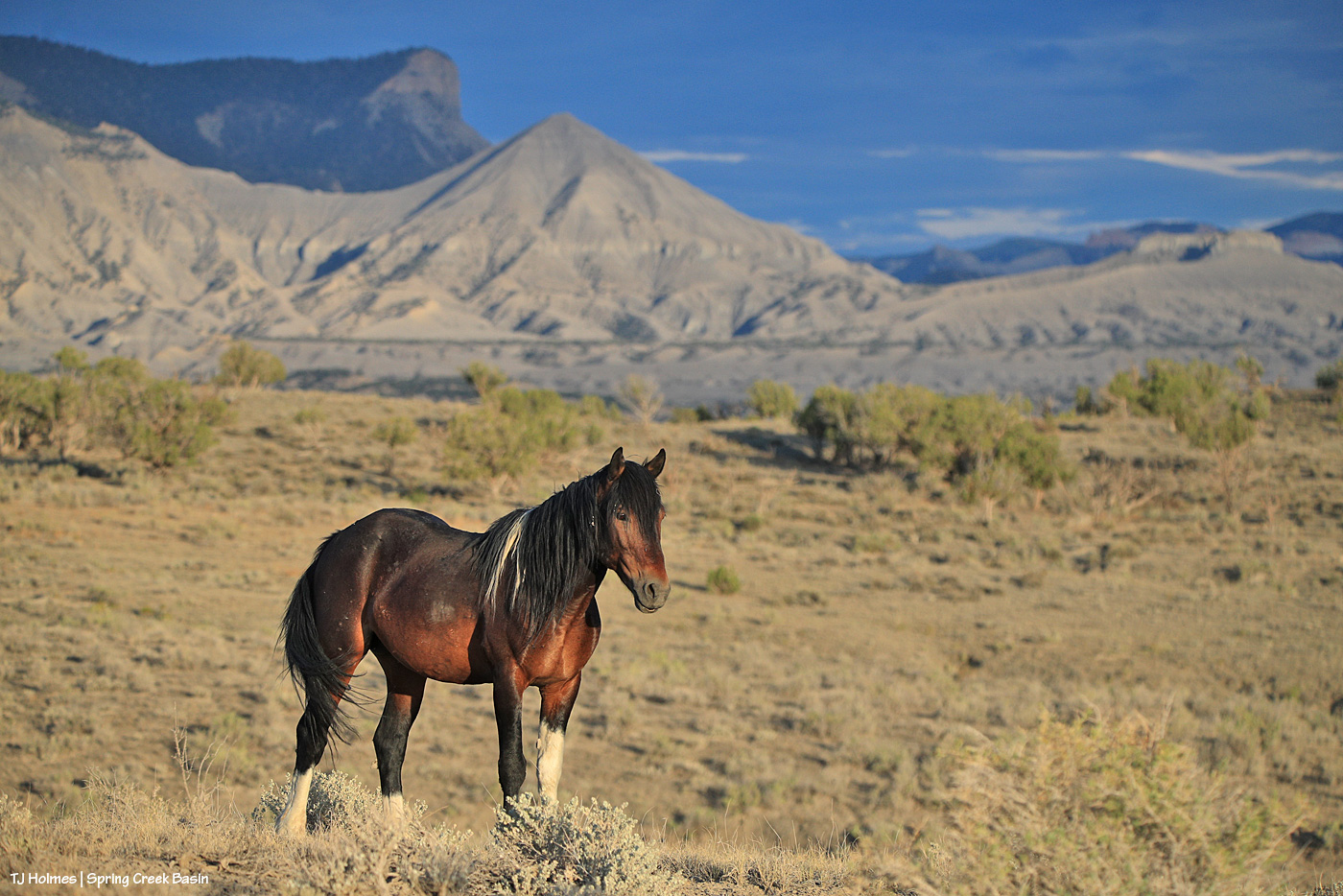
I say that with the utmost affection for the most loveable grump in Spring Creek Basin: Skywalker. 🙂
Winona, of course. 🙂
*****
The Ferris Fire is mostly contained. 🙂 I have to think there’s been a huge sigh of relief for the rains, combined with the huge effort from more than 1,000 firefighters to set containment lines in those first few weeks when conditions were SO hot, dry and windy and it seemed like they/we couldn’t catch a break.

I treat badgers like I treat rattlesnakes: carefully and with respect.
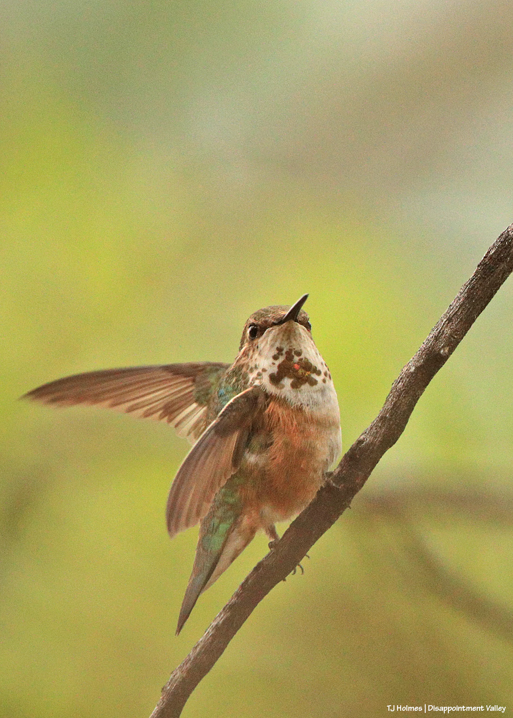
Pretty little ball of energy. Does anyone know what kind of hummingbird this is?
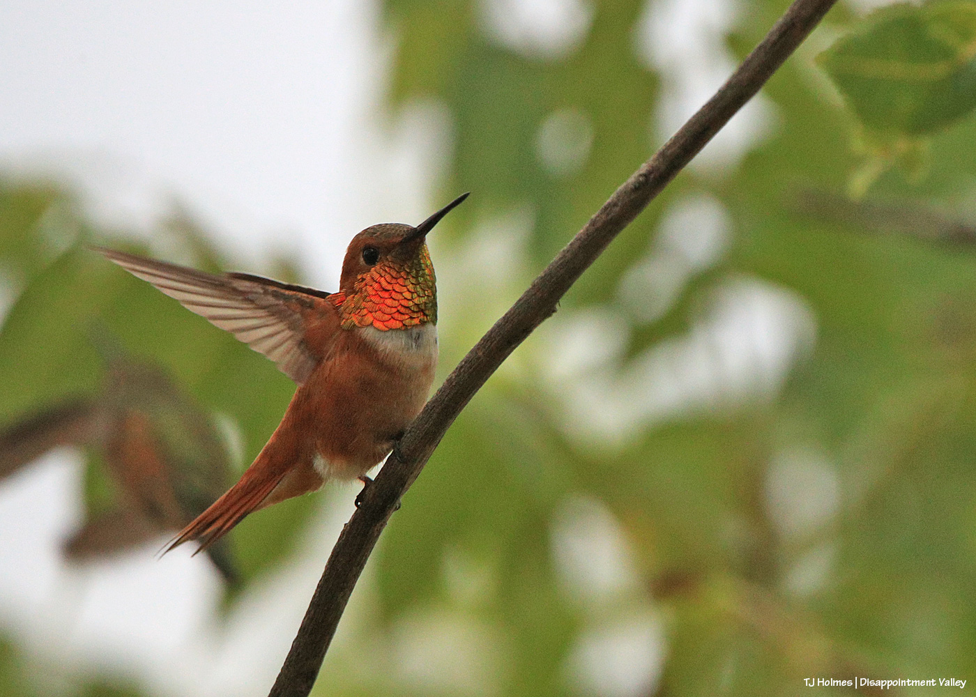
Rufous hummingbird? That orange! When it turned its (his?) head even slightly away, that glittering orange completely disappeared.
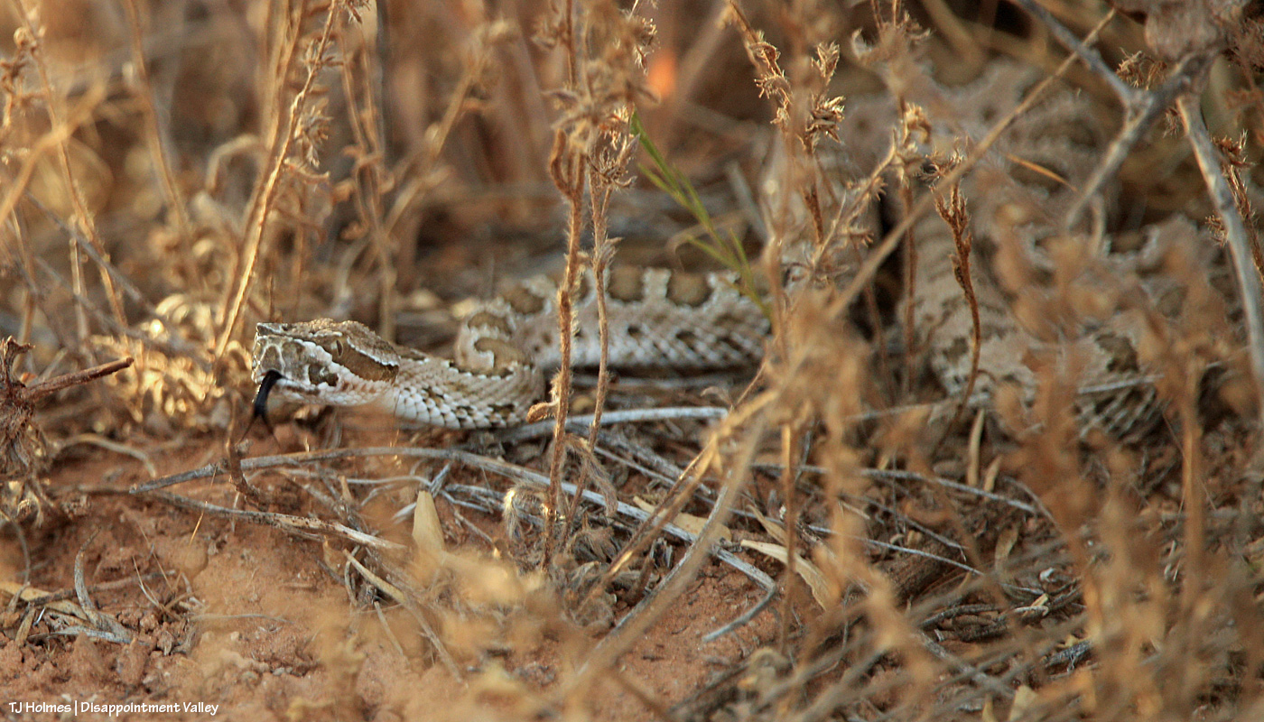
Did someone mention rattlesnakes? … Carefully … and with respect. 🙂
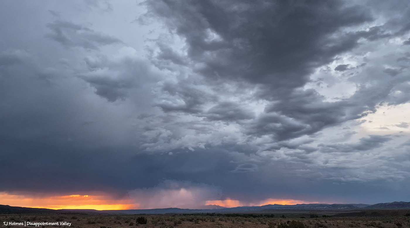
Not all from the same day or same areas of Disappointment Valley.
In big news: We’ve had rain! Finally, Mother Nature is shedding some tears of pity over us, and Tuesday night, there was (I think) pretty widespread rain over the valley. Because of intermittent rain throughout the day (!), I didn’t make it into Spring Creek Basin, but I look forward to soon documenting the run of water through Spring Creek. Hallelujah!
These pix are a poor representation of the ASTOUNDING sunset Monday as rain moved across Disappointment Valley’s western/northwestern horizon at sunset. It was one of the most amazing sunsets I think I’ve ever seen (and I’ve been blessed to see a lot of those).
Rain = literally, the lifeblood of the desert.
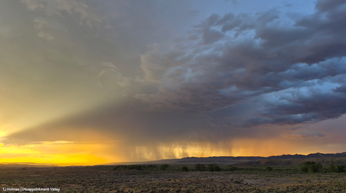
The cottonwoods in the near(ish) foreground line (dry) Disappointment Creek. This is looking northwestish toward neighbor Utah’s La Sal Mountains. You can just barely see one of the shoulders of one of the mountains through the rain. Actual sunset is at far left.
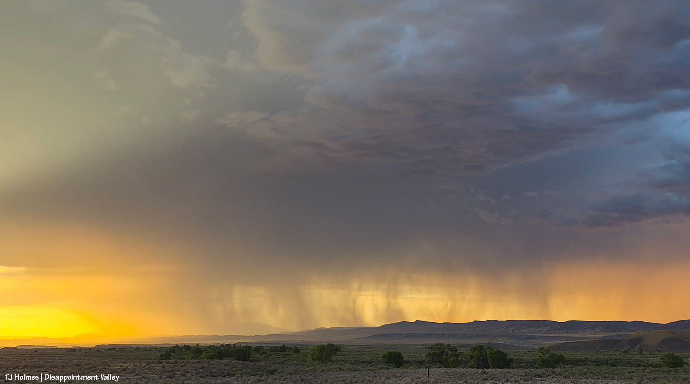
Amazing view a little closer/zoomed. I HOPE that rain was actually finding soil.

Backed out again, and you can see a bit more of the mountains through the curtain of rain.
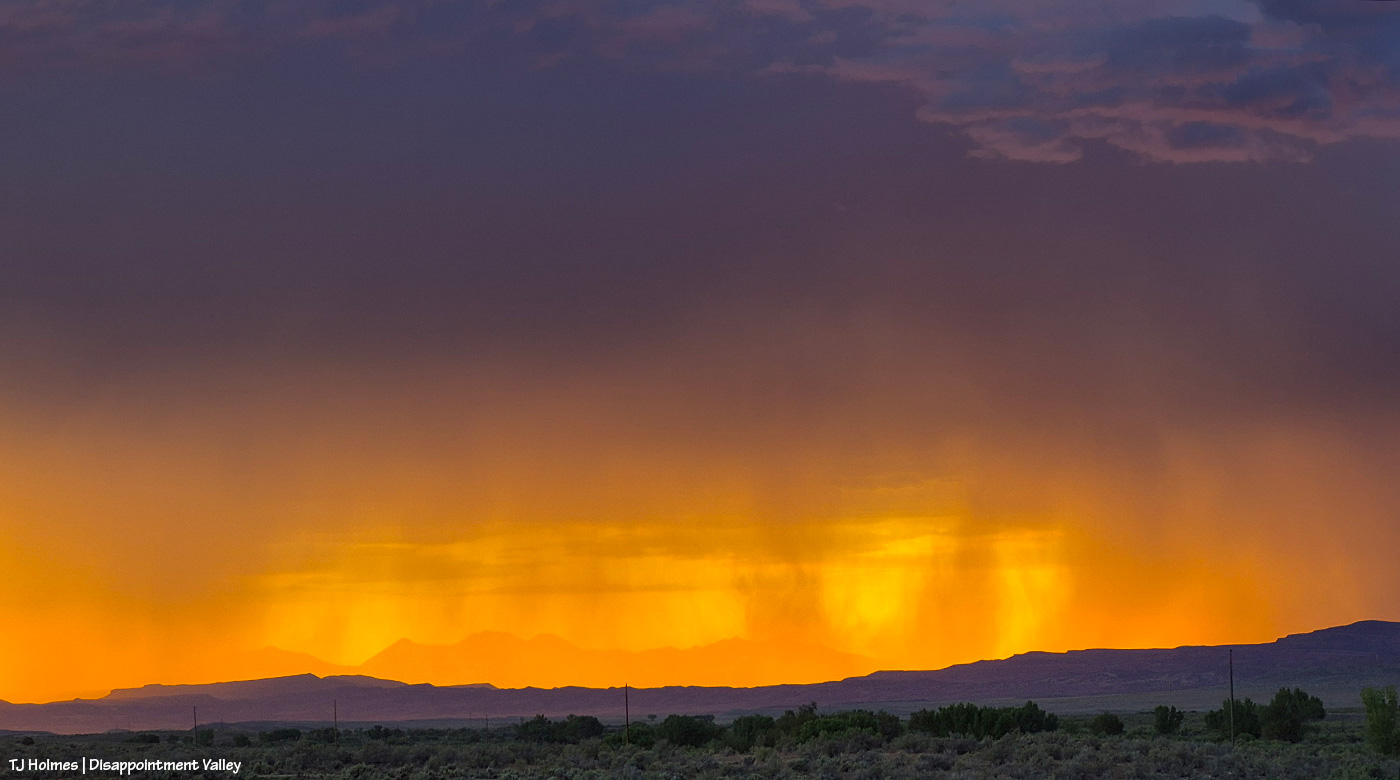
The LIGHT!!! Kept getting getting better as the sun neared the horizon and even disappeared (from my perspective).
Sheer luck: That downpour is lit up by a lightning strike!
Tuesday afternoon and evening, Disappointment Valley is getting multiple little waves of rain. Super grateful.
There have been multiple road closures because of mudslides in the region (pretty much all of western Colorado). Be careful out there!
I hope that title won’t explode the Internet or get the blog censored. 🙂
Pretty Rowan in pretty light.
*****
The Ferris Fire stands at 64,881 acres and now is 91 percent contained (!). Big wow and gigantic thanks to the firefighters as they continue suppression efforts. From Watch Duty Regional Captain Adam Johnson: “Containment on the Ferris Fire continues to increase as firefighters make steady progress securing the fire’s perimeter. Recent rainfall and elevated relative humidity have significantly reduced fire activity, allowing crews to focus on locating remaining pockets of heat using infrared-equipped Unmanned Aircraft Systems (drones). Suppression repair efforts are underway to rehabilitate roads and other areas affected by wildfire operations. Crews are also preparing for post fire hazards, including an increased risk of flooding in recently burned areas. Heavy rainfall has already caused flooding in Bradfield Bridge Campground, and more is expected due to clogged and damaged culverts throughout the fire area.”
Note to locals: “Closures: The San Juan National Fores has a Fire Area Closure in place as does the Bureau of Land Management for Bradfield Bridge and Box Elder Recreation Area and multiple roads on the north end of the Ferris Fire.”
